
Using FIPS Codes to Select Geographies:
You can create a report to learn about a single geography or thousands at once. Use Federal Information Processing Standard codes (known as FIPS codes) to help streamline the process.
FIPS codes are identifiers for different geographies. For example, each county in the US has a unique five digits FIPS code assigned to it by the governmnet.
You can input one or more FIPS codes into the reports to pull up the places you wish to examine without having to click through and select from multiple menus. This is especially useful if you are researching a large number of small areas, such as 500 census tracts from different states.
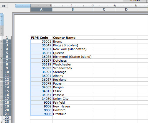
Start by gathering your FIPS codes. In this example, we are inputting a list of counties from New York, New Jersey and Connecticut.
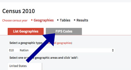
Begin your report by selecting the survey from the list. Then, instead of picking your geographies from the drop down menus, click on the FIPS Codes button.
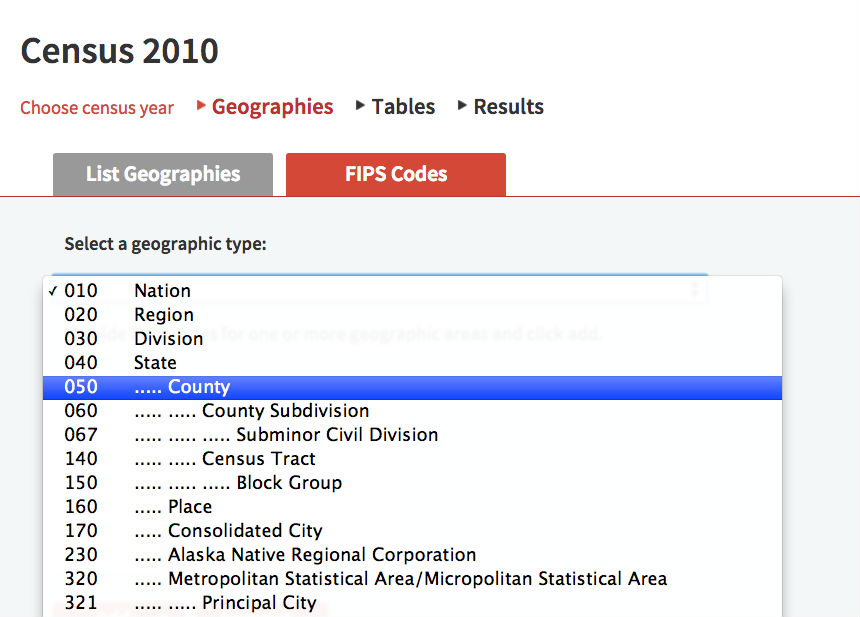
Select which geography type you will be inputting (e.g. 050 Counties).
Then paste your list of FIPS Codes into the box.
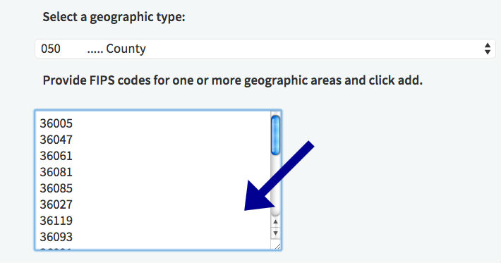
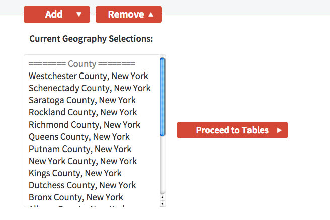
Click the "add" button to add them to your current geography selections. You will now see your geographies listed by name.
You can always add additional geographies of different levels by switching to another geography type and adding more. For example, add your list of counties and then add your list of states or tracts.
After adding your geographies, continue to the table selection and finish creating your report.
