Changing Map Types:
When you first open the maps interface, Social Explorer presents a single map on the screen. You can also create side-by-side or layered maps to draw comparisons and add context. Click on the button towards the bottom center of the map to open up the map options.
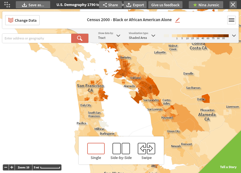
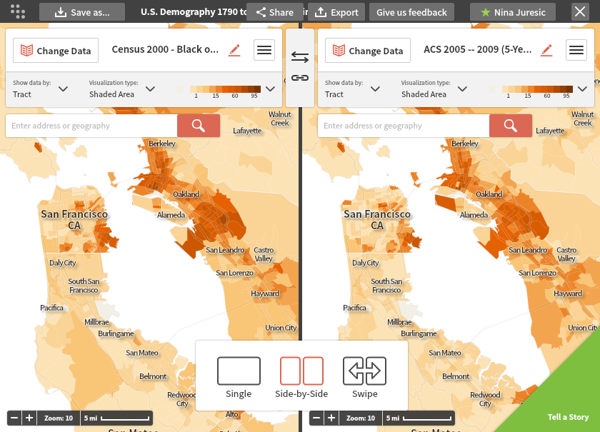
Side-by-Side Maps:
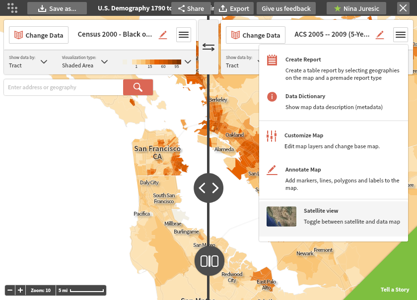
Below is an example of a Side-by-Side map. Each map is fully customizable using the Change Data, Visualization Type, and other menus. You can present different variables and years for the same geography, or different geographies. You can also tether the two maps together by clicking the chain link in the middle of the screen. This will lock the maps together so that if you click and drag or zoom one, the other will mirror the motion.
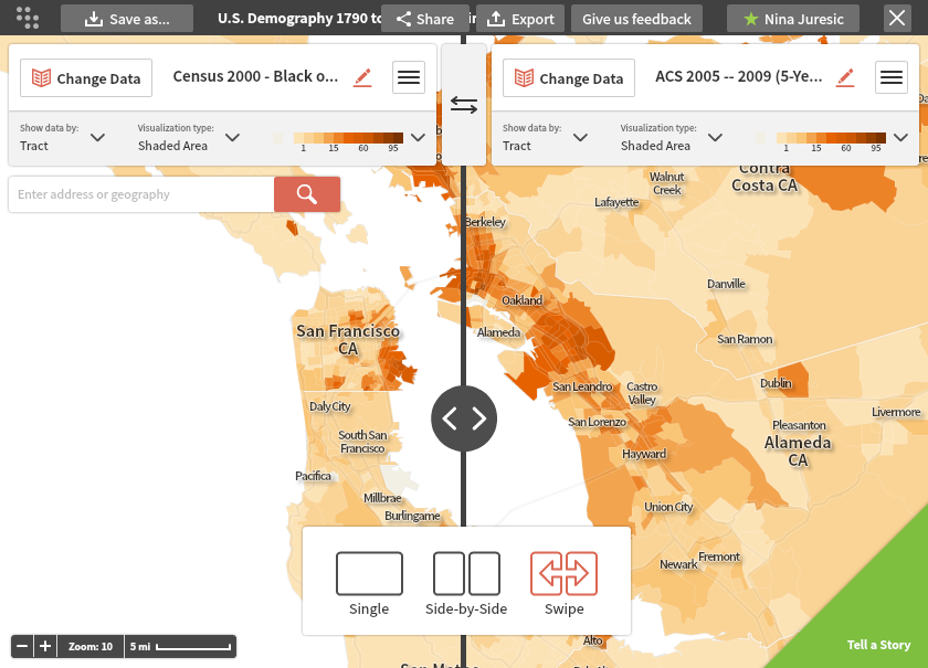
Swipe Maps:
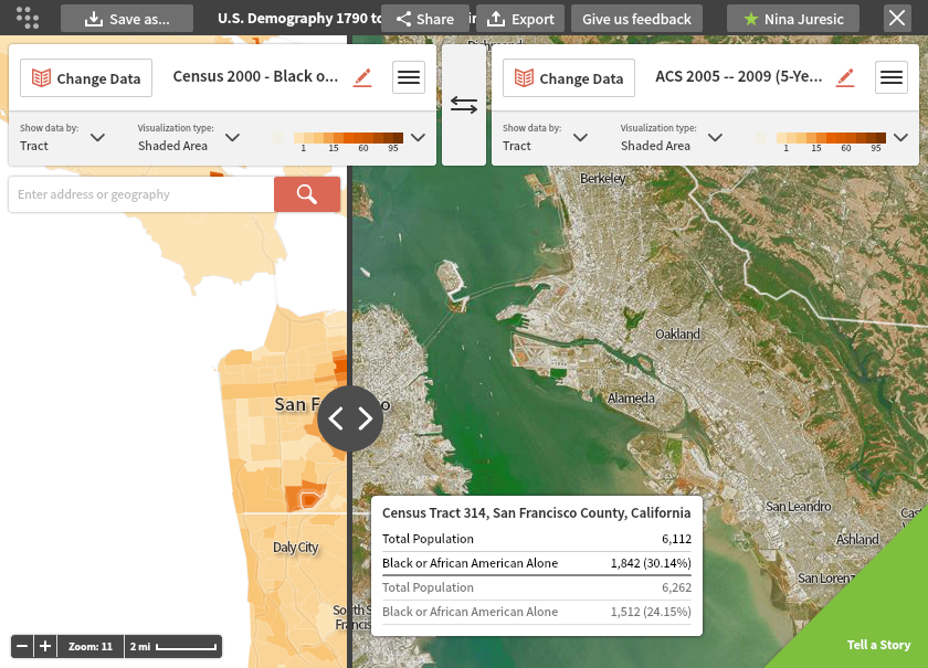
Swipe maps allow for layered comparisons. You can drag the vertical bar back and forth to reveal different parts of the map underneath. Again, both maps are fully customizable.
Satellite View:
Try using our Satellite View tool with the Swipe map for an enhanced experience that connects the data with real terrain. The Satellite View is accessible from by clicking on the three-bar menu on the top right. Select Satellite View from the customization options listed and you will now have an interactive satellite view of your geography.